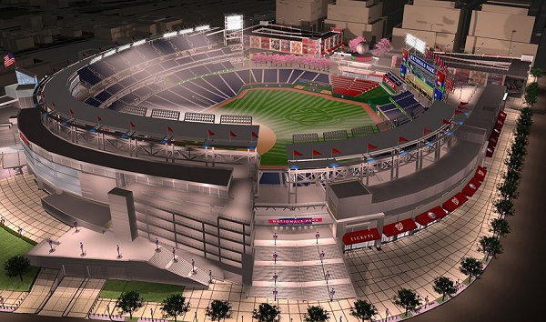
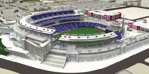
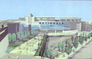
In December 2006, the Nationals released a beautiful new rendering of the stadium, looking to the north from the site's southeastern corner, at 1st and Potomac. The rendering also shows for the first time the design of the much-fought-over four-story garages on the north end of the stadium site.
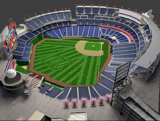
As part of their online ticket seating chart, the Nationals have a "3D" overhead stadium view, and you can click on the graphic to see what the view will be like from each section. This is a copy of that overhead view: 
In May 2007, a DC Sports and Entertainment Commission page about the ballpark's environmentally "green" aspects included a new rendering, showing not only a detailed view of the stadium's northwest side, but also the first up-close looks at the parking garages. (Ignore the lines, they're part of the explanatory graphic the rendering was nicked from.) 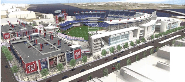
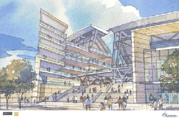
In May 2007, I found on the DC Sports and Entertainment Commission Ballpark Gallery two new (to me) renderings of the parking garages on the north end of the site; on the left is an overview of the two garages (seen from 1st and N), and the right is a ground-level view of the western garage as seen from the entrance plaza at Half and N. 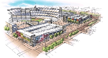 
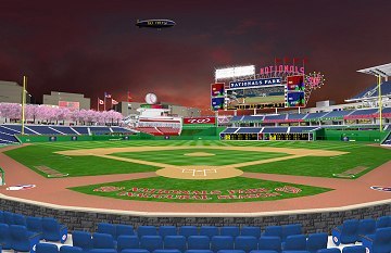 Two new renderings (Dec. 2006) showing what the interior of the stadium will look like--from behind home plate, looking to the northeast....
|
 .... And from center field, looking to the southwest. For additional interior renderings, visit the Nationals New Ballpark page at MLB.com.
|
|
|

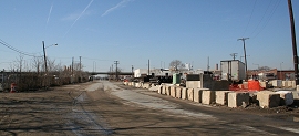
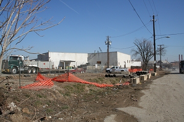
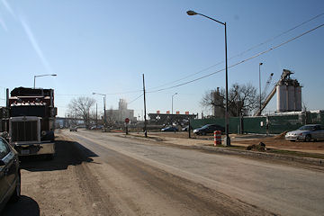
Looking from the southeast--you can see how they've removed any bleachers in the outfield to allow for views of the Capitol. The staircase empties out at Potomac Avenue and 1st Street. This is what Potomac Avenue at 1st Street looked like before the start of construction: 

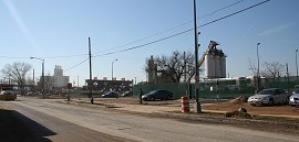
This is where South Capitol Street and Potomac Avenue meet--a nice open plaza along Potomac (and note the lack of the raised South Capitol Street!). This is what Potomac at South Capitol looked like before the start of construction (under the South Capitol Street Bridge exit ramp, which should be gone by the time the stadium opens):


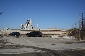
Peeking into the stadium from the northeast, showing the original design with two parking garages to the north of the stadium. The is what the 1st and N Place intersection looked like before the start of construction:

The view to the south along South Capitol Street just north of N. Here's how South Capitol at N looked before construction began:

|
|
|
What the southern entrance of the stadium may look like; this would be on Potomac Avenue, just east of South Capitol Street; the building to the left is the "knife-edge" building.
|
What this location looked like before the start of construction. (02/06)
|
|
|
The renderings show a "viewing platform" and a large staircase on the southeastern edge of the stadium property, near what is currently the intersection of 1st, P, and Potomac.
|
What this location looked like before construction. (02/06)
|
|

The retail locations built into the stadium--as well as the back of the scoreboard--will be visible from 1st Street, south of N Place.
|
What this location looked like before the start of construction. (02/06)
|
|
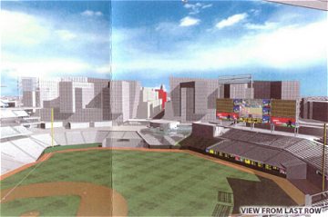
With all of the development planned north of the stadium, views of the Capitol from within the seating bowl will be hard to come by. Here is a rendering showing the expected view to the north from the top row of the 1st-base-line stands, with the garage/condos in place--the tiny white blip in the center of the view is the Capitol. (Note that the stadium's top will be a little over 130 feet, while the Capitol tops out at 346 feet.) You can see enlarged versions of this and similar renderings here.
|
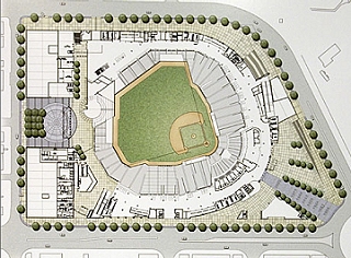
An overhead view of the stadium design. Note at the bottom right is the traffic circle that eventually will be the Potomac Avenue/South Capitol Street intersection.
|
|
|

A rendering of the ballpark during the Garages Wrapped with Development Goodness era, as presented at the June 26, 2006 Zoning Commission meeting. South Capitol Street is running along the stadium, with N Street at left. The "clear" buildings are anticipated development around the stadium site. The plan for mixed-use development wrapping the necessary parking garages on the north end of the site fell through in September, 2006.
|
|
|
|
|
|
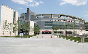 Southeastern view of the new Nationals Park, at the intersection of Potomac Avenue and 1st Street.